


Biodrone
Aerial Intelligence for Property and Land Professionals
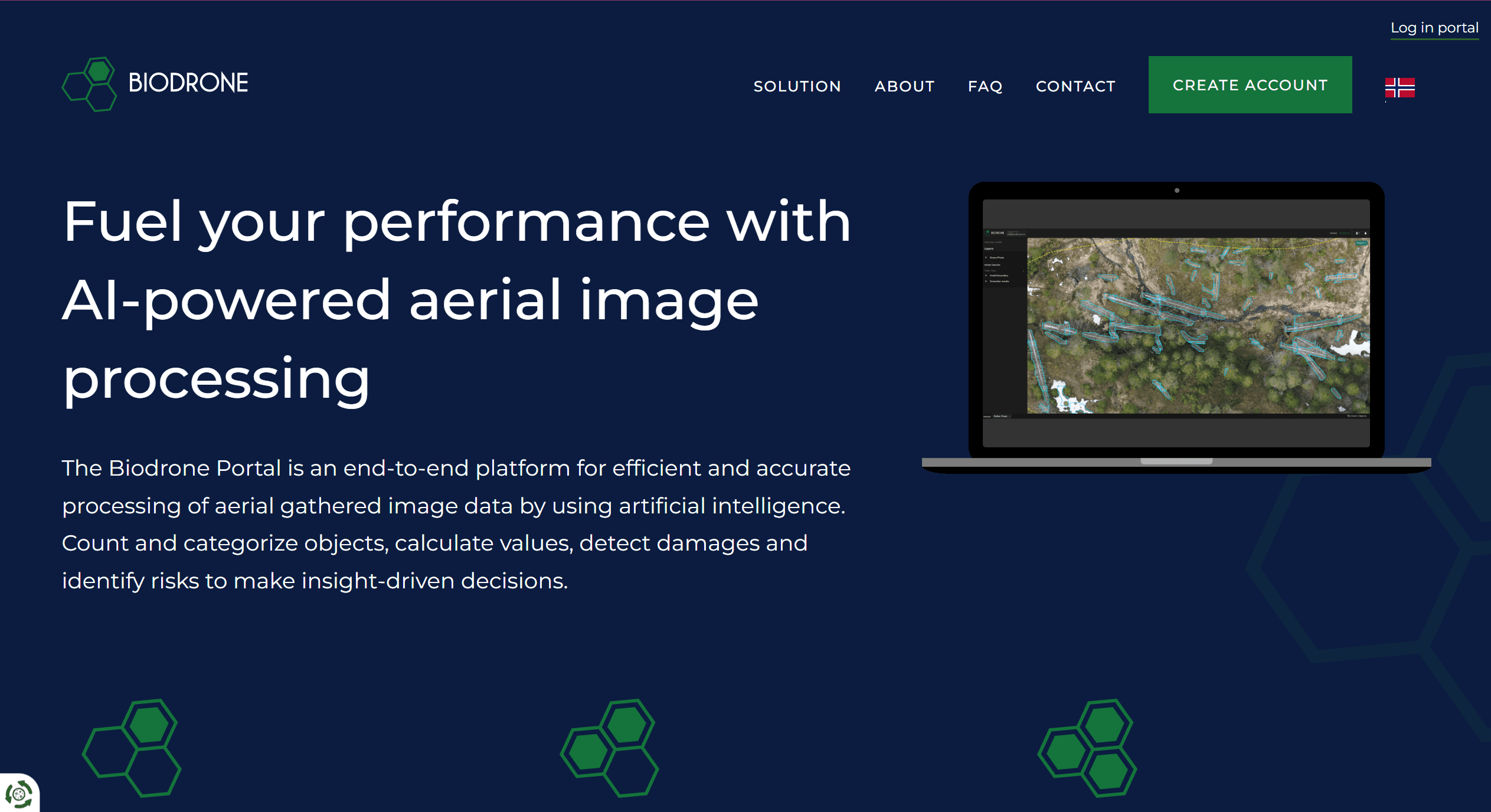
Biodrone AI transforms drone-captured imagery into powerful, actionable insights using advanced artificial intelligence. Designed for surveying, land management and inspection, Biodrone’s cloud-based portal streamlines the full cycle of aerial data analysis delivering accuracy, automation, and unique visual intelligence for the modern land surveyor.
Unrivalled Features for Property and Land
AI-Driven Image Processing and Analytics
Automate the processing of vast volumes of aerial images using state-of-the-art AI algorithms
Detect and classify objects, vegetation, or features (e.g., tree species, invasive plants, site features) for richer property and land analysis
Measure land characteristics such as area, density, and height directly from drone data, supporting better site appraisals and planning
Instant Reporting and Visual Insights
Generate detailed, customisable reports highlighting key findings extracted from drone surveys
Embed interactive 2D and 3D maps, site plans, and AI-powered overlays for presentations and stakeholder updates
Visualise changes over time or compare multiple sites with consistent, automated outputs
Automated Object Detection and Monitoring
Leverage a number of AI models to identify assets, structures, or anomalies ideal for large sites, development land, and portfolio management
Use object counting, site progress tracking, and change detection for enhanced site management or compliance documentation
Cloud-Based and Highly Scalable
Access your drone data from any device, with fast cloud processing and secure storage
No specialist hardware or software required, ensuring easy adoption for teams of any size
Compatible with ArcGIS and QGIS for easy integration
Practical Benefits for Land and Construction
Drastically reduce time between site visits and actionable reports
Improve marketing with stunning, AI-enhanced aerial imagery
Gain deeper asset insights without the need for intensive manual analysis
Support due diligence, site selection, portfolio audits, and environmental monitoring with evidence-based data
Who Should Use Biodrone AI?
Land managers, surveyors, and developers requiring up-to-date, data-rich site intelligence
Facilities and asset managers monitoring large, dispersed portfolios
Anyone seeking reliable, rapid analysis from aerial drone imagery
Transform Your Property Insights with AI-Enhanced Drone Analysis
Unlock the full value of your drone surveys. Discover how Biodrone AI’s powerful analytics and reporting can take your property management, development, or marketing to new heights. Book a demonstration and experience the future of aerial intelligence for the property industry.


